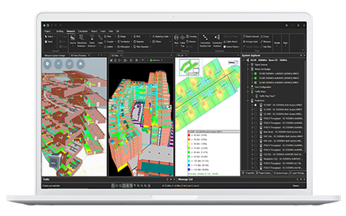
Build your HetNet environment with direct imports of GeoData.
- Ranplan is already OEM agnostic and now we have extended this to GeoData, to become the first network planning tool to support direct imports from all major Geographic Information Systems.
- The quick and straightforward import of all geographic information - buildings, terrain, foliage and clutter - accelerates the time it takes to model the outdoor environment.
- Recognition of the different types of outdoor objects and the assignment of building materials increases the precision of RF predictions
This new feature is part of the Ranplan Professional 6.6 release.
Book a demo


